Log in
All resources
Create a design
34,192 Free Images of 1784 Maps
maps made in the 17th century
atlantis magni tomus quintus (biblioteca comunale di trento)
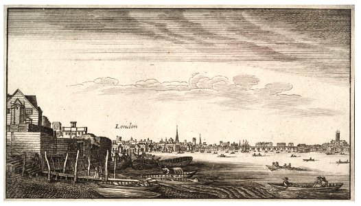
university of toronto wenceslas hollar digital collection
hollar maps and plans of london
pieter van der keere
miniature speed atlas (1627) pieter van den keere
maps made in the 18th century
jan janssonius
atlantis magni tomus quartus (biblioteca comunale di trento)
atlantis magni tomus primus (biblioteca comunale di trento)
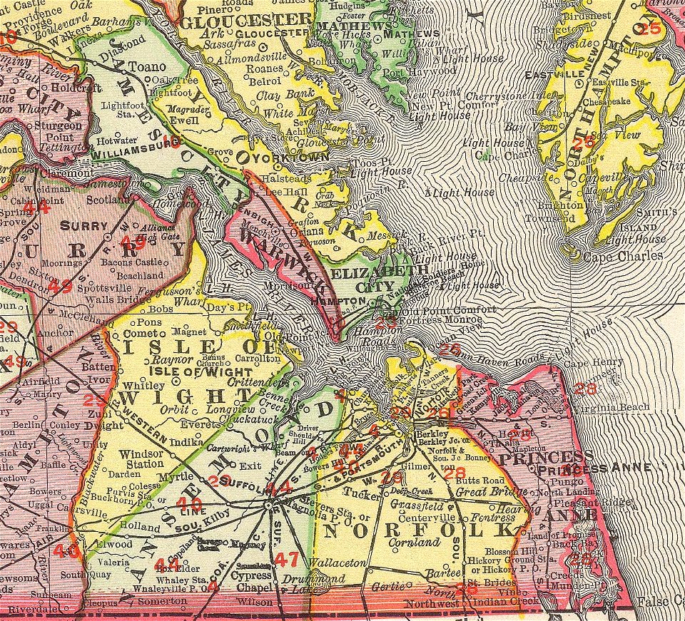
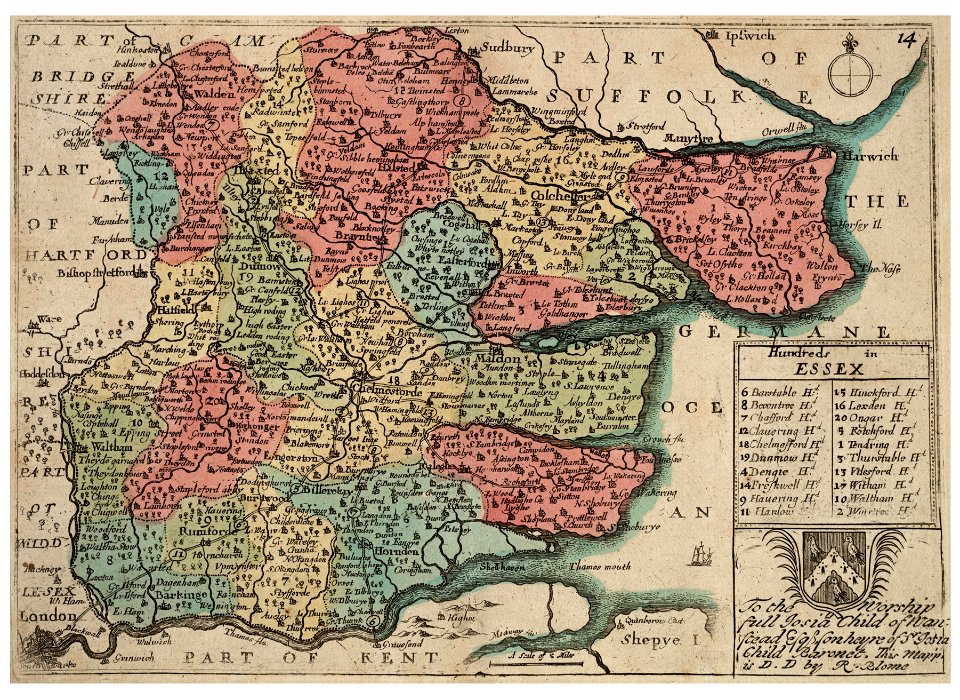
norfolk county
virginia
university of toronto wenceslas hollar digital collection
prints by wenzel hollar
university of toronto wenceslas hollar digital collection
prints by wenzel hollar
university of toronto wenceslas hollar digital collection
prints by wenzel hollar
university of toronto wenceslas hollar digital collection
prints by wenzel hollar
university of toronto wenceslas hollar digital collection
hundred (county division)
weißenburg in bayern in art
maps by homannsche erben
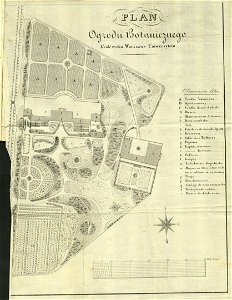
royal park in łazienki (warsaw)
historical maps of warsaw
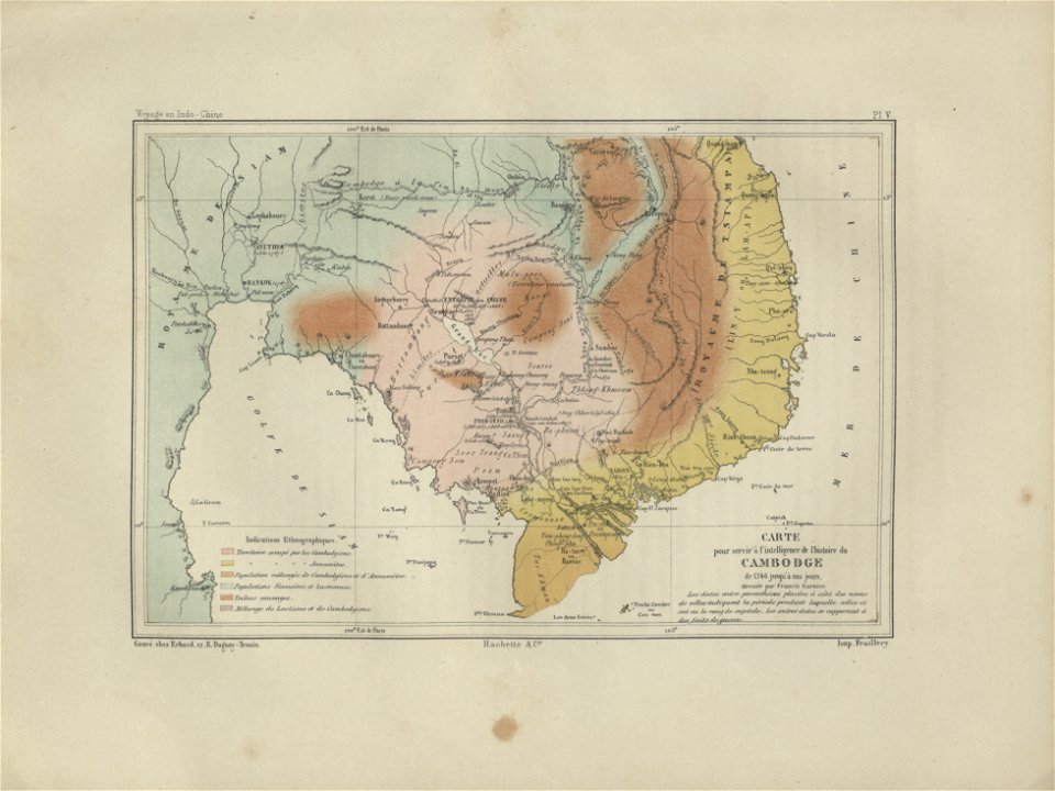
old maps of cambodia
francis garnier
maps made in the 17th century
ungheria
maps by gerardus mercator
mercator celestial globe
dutch 18th-century prints in the rijksmuseum amsterdam
battles of the eighty years' war
collections of tiroler landesmuseum
route
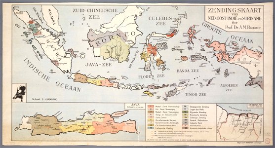
20th-century maps of indonesia
christian mission in indonesia
images from metropolitan museum of art (paris project)
jardin des plantes
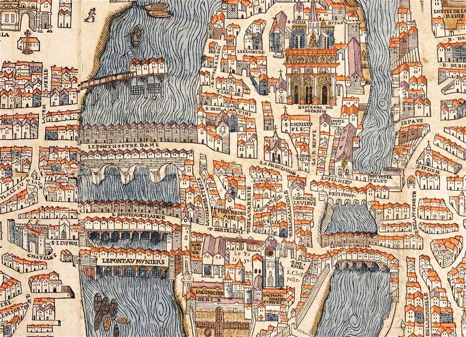
historical images of the pont saint-michel
rue de la huchette (paris)
1758
1711
dutch east india company
fort san domingo
prints by james heath
edward riou
17th-century maps of pomerania
old maps of rügen
maps in the library of congress
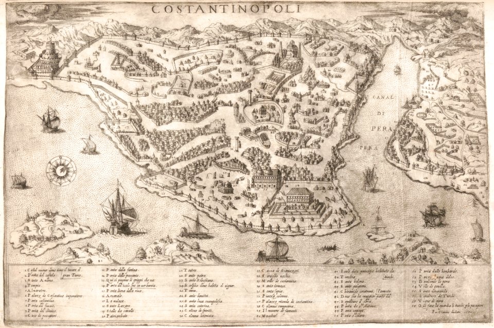
old maps of istanbul
chromolithograph
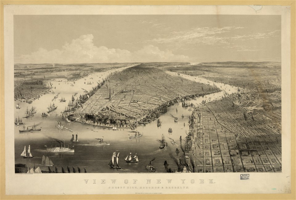
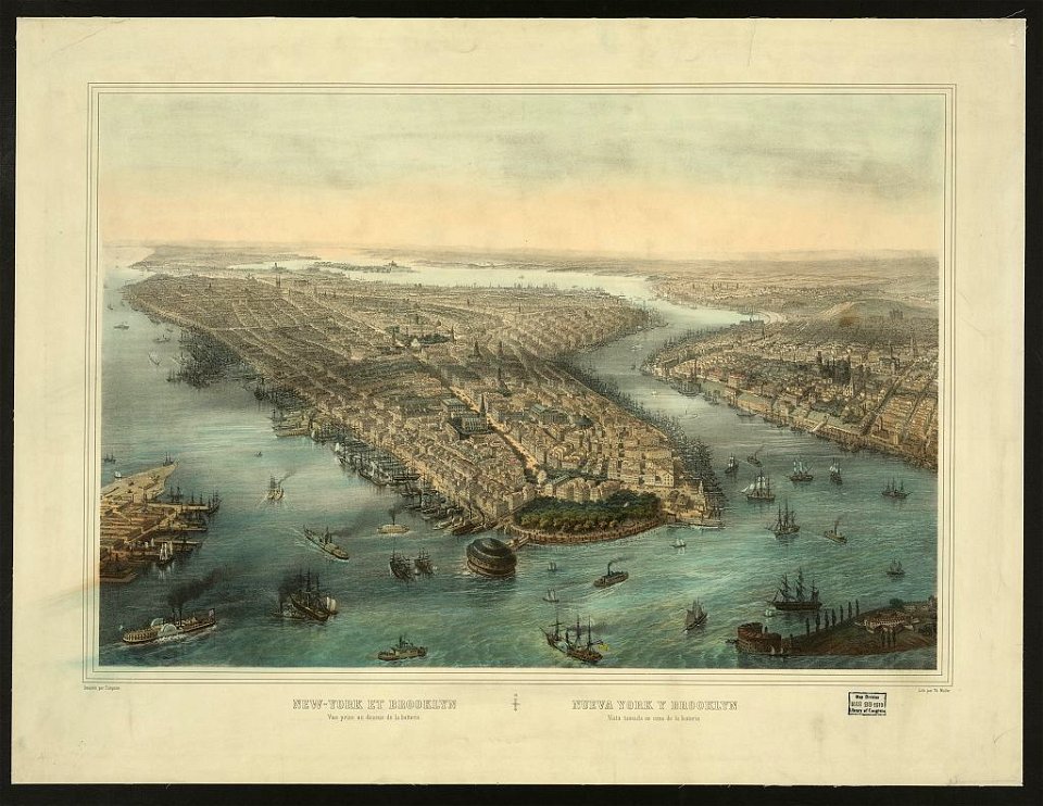
new york city
paris in the 16th century
lithographs of paris
chromolithograph
currier and ives
cornell university library
abolitionism
paintings by joseph dorffmeister in the kunsthistorisches museum
portrait paintings of ferdinand iii, grand duke of tuscany
18th-century portraits in the wilanów palace
alexander kucharsky
topographic maps made in 18th century
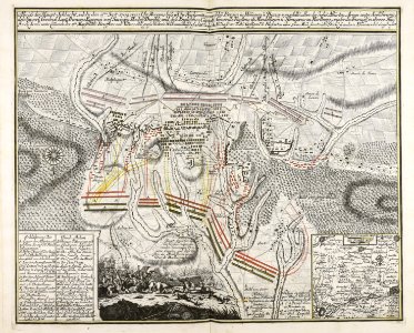
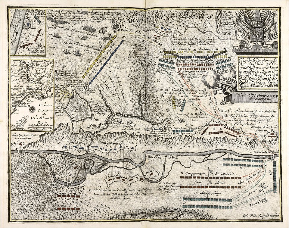
battaglia di malplaquet. 1709
maps and topographical views by joris hoefnagel
historical images of castle of eger
maps made in the 17th century
jan janssonius
atlantis magni tomus primus (biblioteca comunale di trento)
maps made in the 18th century
atlantis magni tomus secundus (biblioteca comunale di trento)
maps made in the 17th century
atlantis magni tomus primus (biblioteca comunale di trento)
maps made in the 17th century
atlantis magni tomus primus (biblioteca comunale di trento)
maps made in the 17th century
paintings of windmills
boats in art
atlantis magni tomus primus (biblioteca comunale di trento)
maps made in the 17th century
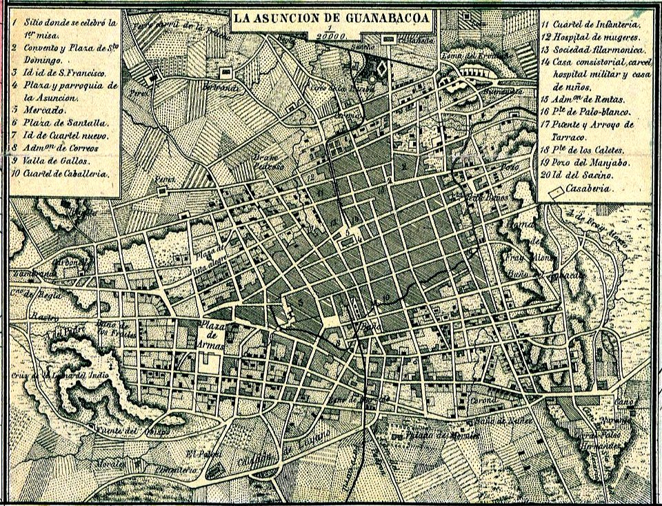
old maps of havana
cuba in the 1860s
old maps of havana
1866
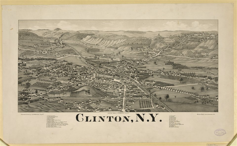
new york
clinton
maps made in the 17th century
jan janssonius
geography of marktoberdorf
kohlhunden
atlantis magni tomus primus (biblioteca comunale di trento)
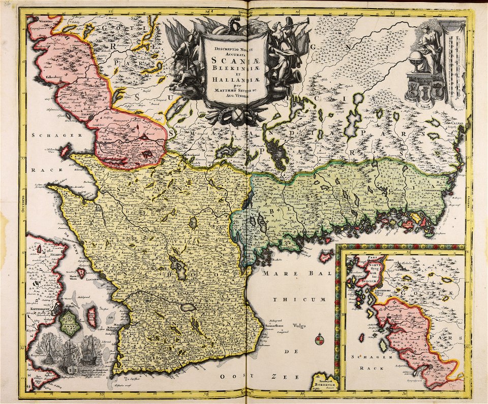
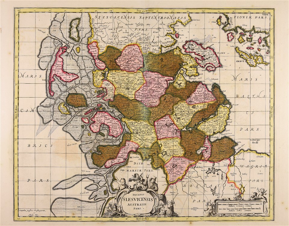
17th-century maps of schleswig-holstein
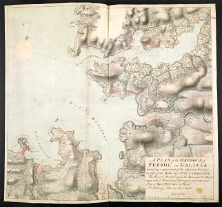
old maps of the province of a coruña
1767 in galicia (spain)
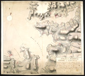
old maps of the province of a coruña
1767 in galicia (spain)
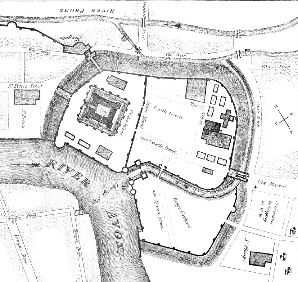
images from bristol past and present (1882)
bristol
maps made in the 17th century
jan janssonius
drawings and watercolours of the royal museums greenwich
printing
braun & hogenberg
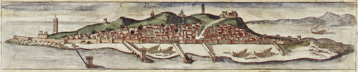
diu
braun & hogenberg
diu
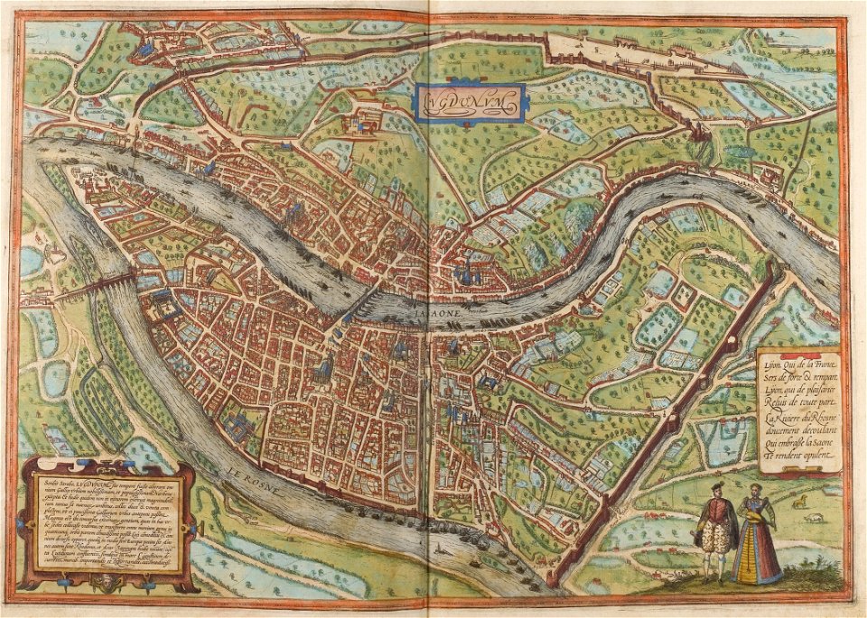
confluence of the rhône and saône rivers
historical images of lyon
confluence of the rhône and saône rivers
historical images of lyon
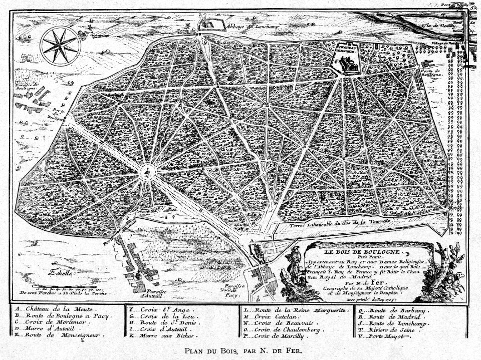
illustrations from h.corbel
nicolas de fer
maps of the war of the first coalition
1792-1892
miniature speed atlas (1627) pieter van den keere
pieter van der keere
miniature speed atlas (1627) pieter van den keere
pieter van der keere
miniature speed atlas (1627) pieter van den keere
pieter van der keere
miniature speed atlas (1627) pieter van den keere
pieter van der keere
miniature speed atlas (1627) pieter van den keere
pieter van der keere
miniature speed atlas (1627) pieter van den keere
pieter van der keere
miniature speed atlas (1627) pieter van den keere
pieter van der keere
miniature speed atlas (1627) pieter van den keere
pieter van der keere
siege of the acropolis (1687)
old maps of athens
dutch 17th-century prints in the rijksmuseum amsterdam
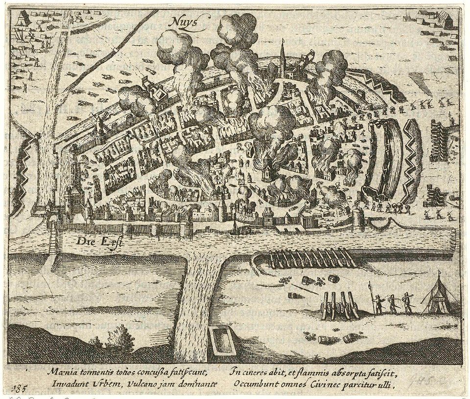
history of neuss
maps made in the 17th century
belgio
collections of the musée national des beaux-arts du québec
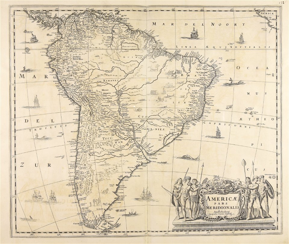
18th-century maps of north america
atlantis magni tomus quintus (biblioteca comunale di trento)
maps made in the 18th century
gabriel bodenehr
lindau island
prints from bonne atlas de toutes les parties at the peace palace library
18th-century maps of africa
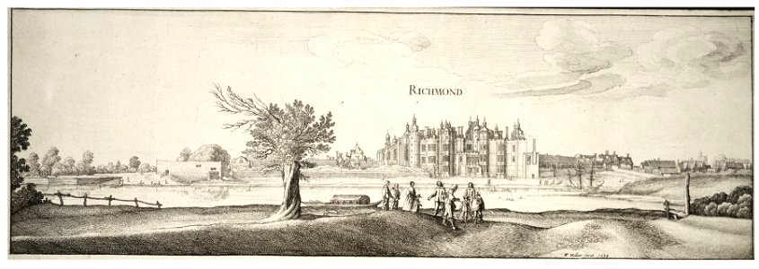
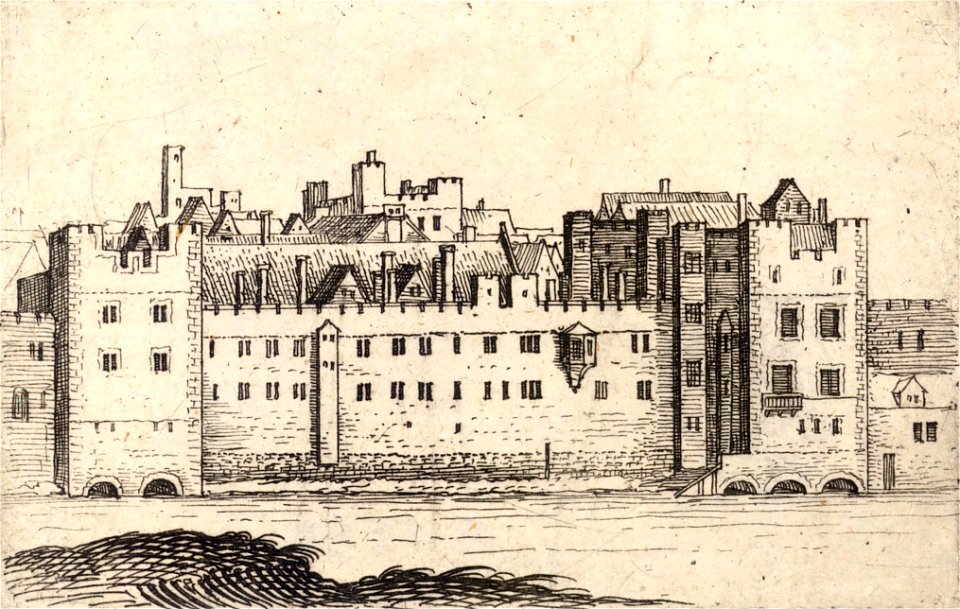
university of toronto wenceslas hollar digital collection
architectural prints by wenzel hollar
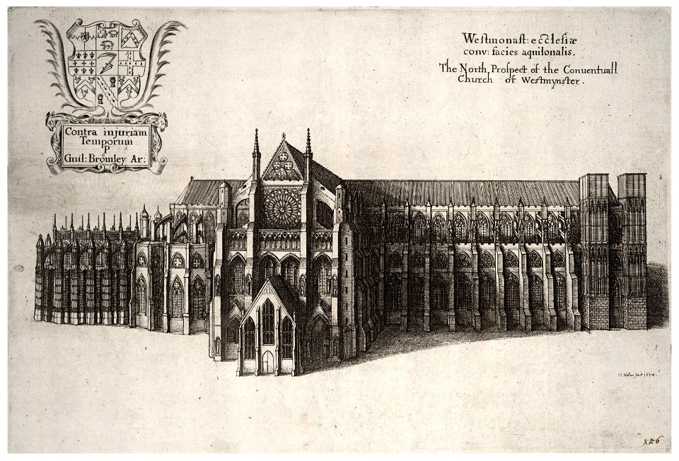
university of toronto wenceslas hollar digital collection
architectural prints by wenzel hollar
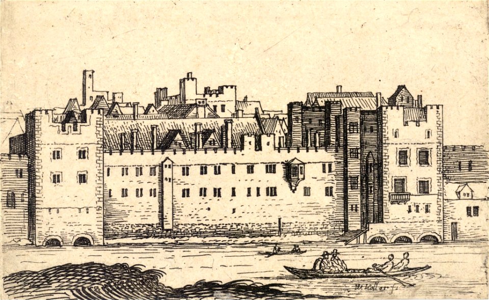
university of toronto wenceslas hollar digital collection
architectural prints by wenzel hollar
university of toronto wenceslas hollar digital collection
architectural prints by wenzel hollar
prints from fricx table des cartes des pays-bas at the peace palace library
old maps of flanders
atlantis magni tomus quintus (biblioteca comunale di trento)
topographic maps made in 18th century
johann baptist homann
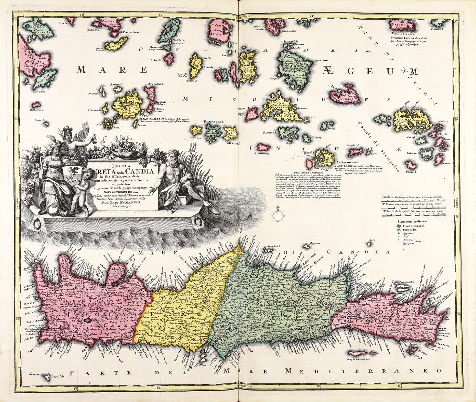
creta
dutch 17th-century prints in the rijksmuseum amsterdam
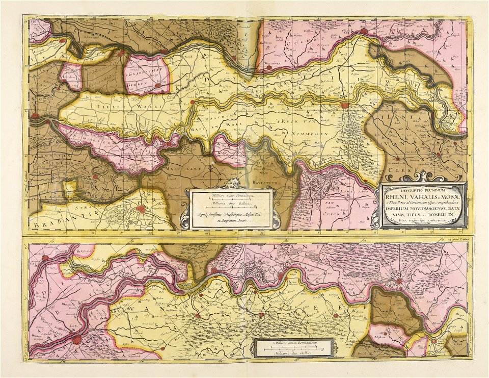
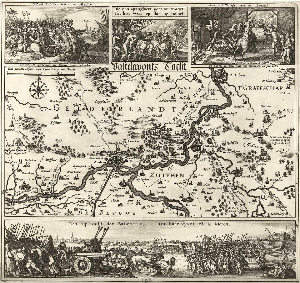
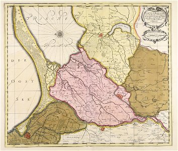
old maps of gelderland
maps made in the 18th century
gerard valck
prints from histoire de guillaume iii at the peace palace library
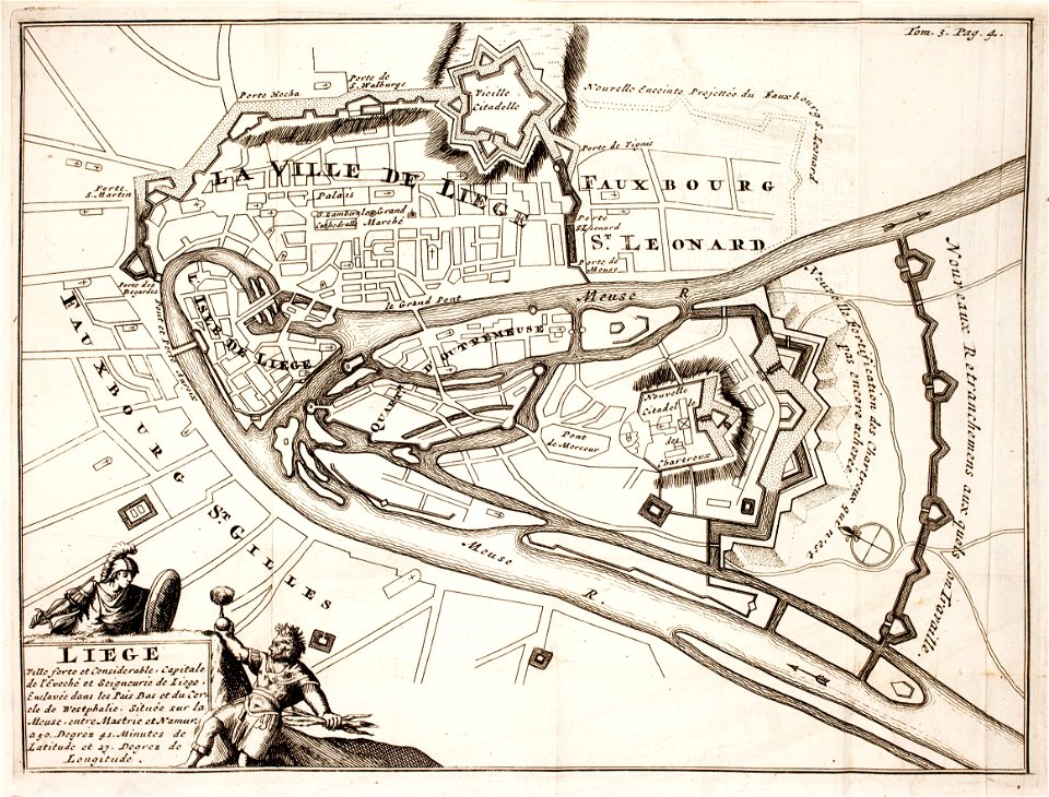
maps of liège in the 17th century
kutepov's hunting - illustrations (volume 1)
old maps of the tsardom of russia
maps made in the 17th century
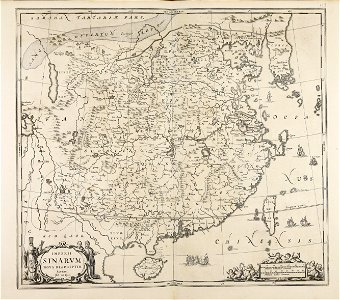
cina
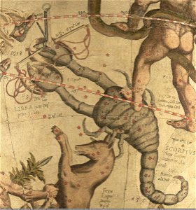
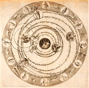
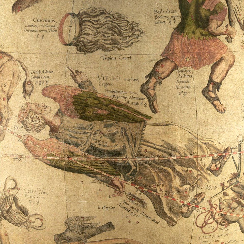
astronomical diagrams
zodiac
atlantis magni tomus quartus (biblioteca comunale di trento)
maps made in the 17th century
john rocque 1746 crops from library of congress
maps in the library of congress
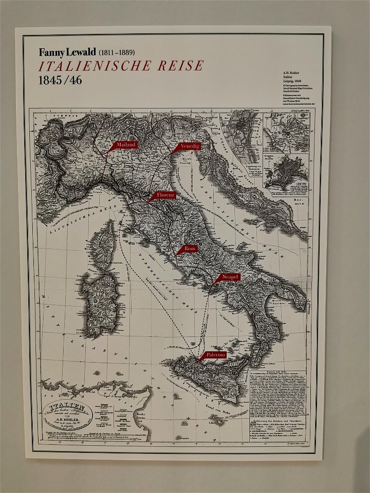
fanny lewald
route
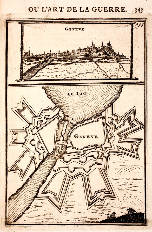
history of geneva
maps of geneva
paradise
heaven
prints from manesson travaux de mars at the peace palace library
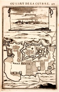
maps of fortifications in portugal
betzhorn
gifhorn
maps made in the 17th century
olof örnehufvud
maps by gerardus mercator
coma berenices
borisovsky district
khotmyzhsk
maps made in the 18th century
johann baptist homann
bibliothèque municipale de reims
abbey of saint-remi
johann baptist homann
earth
california
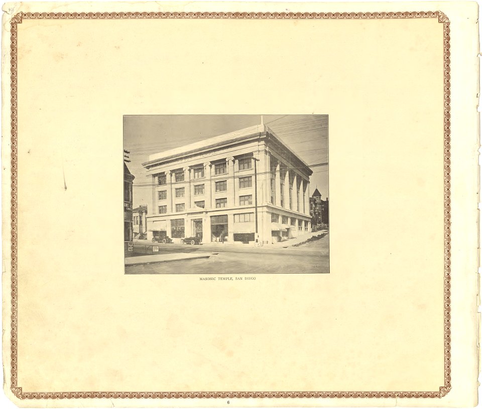
san diego
maps in the library of congress
california
maps made in the 17th century
jan janssonius
germany
1568
maps made in the 17th century
jan janssonius
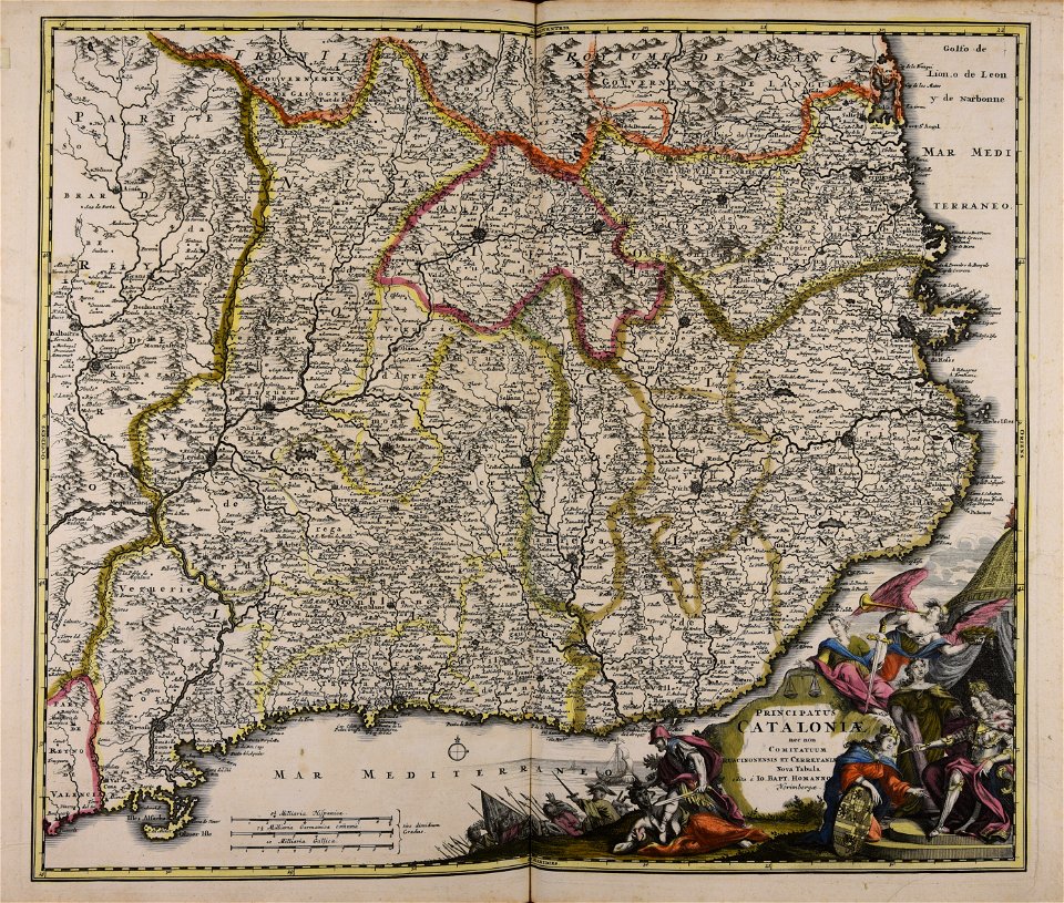
johann baptist homann
catalonia
9501 - 9600 of 34,192
Next page
/ 342